Road Photos & Information: Queensland
Robinson Road East, Railway Parade, Robinson Road West, Albany Creek Road and South Pine Road (State Route 28)
Statistics:
- Length:
- 17 km
- Termini:
- Northern: Gympie Rd (Brisbane-Woodford Rd) (SR58), Strathpine
- Southern: Sandgate Rd (SR26) and Vauxhall St (unnumbered), Virginia
- Suburbs, Towns & Localities Along Route:
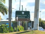
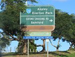
- Virginia, Geebung, Aspley, Bridgeman Downs, Albany Creek, Brendale and Strathpine
Route Numbering:
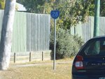
- Current: 28
- Road Authority Internal Classification: 1
- U94 (Virginia to Albany Creek)
- 403 (Albany Creek to Strathpine)
General Information:
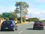
State Route 28 is an arterial urban route in Brisbane's northern suburbs. It's a mix of single and dual carriageway road that passes through residential, commercial and industrial zones.
History:
- May 2010: Intersection upgrade at the junction of Albany Ck Rd and Keong Rd at Albany Creek. Works included extending the right turn lane on Albany Creek Road into Keong Road, upgrading of street lighting at the intersection and placing new asphalt over the extension work and through lanes. 2
Virginia to Strathpine
Strathpine to Virginia
1 QLD Government, Department of Transport and Main Roads, Queensland state-controlled roads and region maps, Metropolitan Region, November 2022.
2 QLD Government, Department of Transport and Main Roads, Albany Creek Road and Keong Road intersection, Albany Creek: Safety improvements works.
2 QLD Government, Department of Transport and Main Roads, Albany Creek Road and Keong Road intersection, Albany Creek: Safety improvements works.
