Road Photos & Information: Queensland
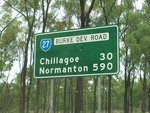
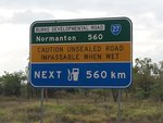
Burke Developmental Road and Mareeba-Dimbulah Road (State Route 27) (Far North Region)
Statistics:
- Length:
- 670 km
- Termini:
- Eastern: Mulligan Hwy (Byrnes St) (SR81 / TD14), Mareeba
- Western: Burke Developmental Rd (NR83) and Karumba Rd (NR83), Howitt
- Suburbs, Towns & Localities Along Route:
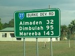
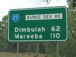
- Howitt, Yagoonya, Maramie, Highbury, Gamboola, Wrotham, Rookwood, Chillagoe, Almaden, Petford, Dimbulah, Mutchilba, Arriga, Paddys Green and Mareeba
Route Numbering:
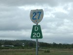
- Current: 27
- Multiplexed with:
- Road Authority Internal Classification:
- 89B (Normanton to Dimbulah) 1
- 664 (Dimbulah to Mareeba) 2
General Information:
Lorem ipsum dolor sit amet, consectetur adipiscing elit, sed do eiusmod tempor incididunt ut labore et dolore magna aliqua.
State Route 27 in Far North Queensland is an inland rural route, west of Cairns. It connects remote towns and settlements west of the Atherton Tablelands with the eastern coastal regions around Cairns.
The route is a undivided single carriageway, with continuous seal to the town of Almaden. Beyond Almaden, the route is a mix of mostly gravel and small sealed sections. 3
The themed Wheelbarrow Way route is named after the pioneers who wheeled their belongings through the area in the 1800s. 4
Multiplexes along the route include:
- Wheelbarrow Way, for 140 km, between Chillagoe and Mareeba.
Howitt to Mareeba
Mareeba to Howitt
1 QLD Government, Department of Transport and Main Roads, Map of North West Road Region, November 2022.
2 QLD Government, Department of Transport and Main Roads, Map of Far North Road Region, November 2022.
3 Terry Siva.
4 Mission Beach Tourism, Tropical North Queensland Hidden Secrets Handbook, Page 19.
2 QLD Government, Department of Transport and Main Roads, Map of Far North Road Region, November 2022.
3 Terry Siva.
4 Mission Beach Tourism, Tropical North Queensland Hidden Secrets Handbook, Page 19.
