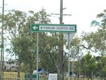
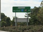
Road Photos & Information: Queensland
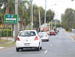
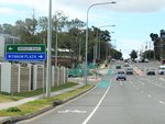
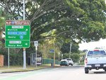
Shafston Avenue, Lytton Road, Wynnum Road, Balmoral Street and Glenora Street (State Route 23)
Statistics:
- Length:
- 16 km
- Termini:
- Eastern: Tingal Rd and Glenora St (Southern Morton Bay Tourist Drive), Wynnum
- Western: Bradfield Hwy (SR15) and Main St (SR15), Kangaroo Point
- Suburbs, Towns & Localities Along Route:
- Kangaroo Point, East Brisbane, Norman Park, Morningside, Cannon Hill, Tingalpa, Wynnum West and Wynnum
Route Numbering:
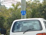
- Current: 23
- Multiplexed with: 30
General Information:
State Route 23 is an arterial route in Brisbane, linking the bayside suburb of Wynnum with the Brisbane CBD. The route is a mix of divided and undivided suburban arterial road passing through mostly commercial and residential areas.
Multiplexes along the route include:
- State Route 30, for 100 m, Wynnum.
- Southern Moreton Bay Tourist Drive, for 7 km, between Tingalpa and Wynnum.
History:
- August 2006: Work begins on Wynnum Road Upgrade at Tingalpa, with additional turn lanes at the Gateway Mwy (M1) interchange. 1
Kangaroo Point to Wynnum
1 QLD Government, Media Release, Work starts on Wynnum Rd/Gateway upgrade, 21 August 2006.
