|
|
|
|
|
| M2 A2 | Gateway Motorway, Logan Motorway, Ipswich Motorway, Warrego Highway, Landsborough Highway & Barkly Highway (M2/A2) - Chinchilla to Mitchell |
Statistics:
Route Numbering:

General Information:
M/A2 is the main link from Brisbane to the northern territory. It varies from motorway standard in the Brisbane metropolitain area, to dual carriageway rural highway standard between Brisbane and Toowoomba, and rural highway standard beyond Toowoomba. The route is the only sealed link between Flinders Highway and Capricorn Highway apart from Gregory Development Road between Emerald and Charters Towers.
The Landsborough Highway runs through vast tracts of land that was once occupied by William Landsborough, an Australian explorer of the 19th century. The Barkly Highway is the only major route connecting Queensland and the Northern Territory.
The route features ALT-A2, an alternate route via the town centre of Charleville. ALT-A2 is formed by Warrego Hwy and Mitchell Hwy. Charleville is important town in the southern centre of Queensland. Through traffic follows A2 via Landsborough Highway from Morven to Augathellla.
Multiplexes along the route include:
History:
Click here for the former alignment between Chinchilla and Mitchell
| Chinchilla to Mitchell | Mitchell to Chinchilla | |||
| Preview: | Description: | Preview: | Description: | |
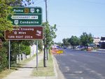 |
Advance Directional Sign: AD sign at Miles approaching Leichhardt Hwy (then NR39, now A5), April 2004. Image © Michael Greenslade |
 |
Intersection Directional Sign: ID sign facing Riggers Rd (former Warrego Hwy) at Roma, September 2018. Image © Richard Wardle |
|
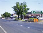 |
Leichhardt Highway: Corner of Warrego Hwy (A2) and Leichhardt Hwy (then NR39, now A5) at Miles, April 2004. Image © Michael Greenslade |
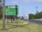 |
Reassurance Directional Sign: Distance sign at Roma, April 2004. Image © Michael Greenslade |
|
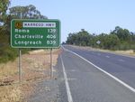 |
Reassurance Directional Sign: Distance sign at Miles, April 2004. Image © Michael Greenslade |
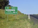 |
Advance Directional Sign: AD sign at Roma approaching Carnarvon Hwy (then NR55, now A55), April 2004. Image © Michael Greenslade |
|
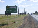 |
Reassurance Directional Sign: Distance sign at Miles, April 2004. Image © Michael Greenslade |
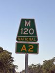 |
Trailblazer: Auslink specification kilometre plate at Blythedale, September 2018. Image © Richard Wardle |
|
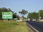 |
Advance Directional Sign: AD sign at Miles approaching Leichhardt Hwy (then NR39, now A5), April 2004. Image © Michael Greenslade |
|||
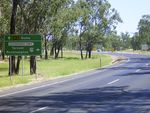 |
Advance Directional Sign: AD sign at Miles approaching Leichhardt Hwy (then NR39, now A5), April 2004. Image © Michael Greenslade |
|||
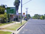 |
Reassurance Directional Sign: Distance sign at Miles, April 2004. Image © Michael Greenslade |
|||
| Click here for the continuation of A2 between Mitchell and Longreach Click here for the continuation of A2 between Toowoomba and Chinchilla |
||||
1 The State Road
Network Map, 30 June 2008
10 QMR, Strategic Tourism Routes
Revision 12
19 Minister for Infrastructure,
Transport, Regional Development and Local Government Media Release, Mitchell Main Street Completed, 20 February 2009
Last updated: 03-Aug-2019 0:39
This site © Paul Rands. All rights reserved. Some portions © (copyright) by their respective and credited owners. Permission must be obtained before using any images from this site. For details, please email by clicking here.