Road Photos & Information: Queensland
Gore Highway (National Highway 85) (Decommissioned)
Statistics:
- Length:
- 201 km
- Termini:
- Eastern: Warrego Hwy (A2) and Anzac Av (unnumbered), Newtown
- Western: Leichhardt Hwy (A5) (former NR39) and Gore Hwy (NH39 / A5), Goondiwindi
- Miscellaneous:
- Continued as National Highway 39 / A5 between Leichhardt Hwy junction and Goondiwindi town centre
- Suburbs, Towns & Localities Along Route:
- Goondiwindi, Wyaga, Bull Creek, Wattle Ridge, The Pines, Forest Ridge, Cypress Gardens, Millmerran Downs, Captains Mountain, Millmerran, Pampas, Yarranlea, Pittsworth, Southbrook, Athol, Westbrook, Drayton, Harristown and Newtown (Toowoomba)
Route Numbering:
- Current: A39 A139
- Former: 85 85
- Multiplexed with: 82 1
- Road Authority Internal Classification:
- 28A (Millmerran to Toowoomba) 1
- 28B (Goondiwindi to Millmerran) 2
General Information:
National Highway 85 was a major highway route linking the Darling Downs farming area, and the city of Toowoomba with Goondiwindi and New South Wales.
Consisting of mostly rural highway standard, the route passed through mostly farming, residential and commercial zones.
The Gore Highway was named after two brothers, George and Ralph Gore. They established Yandilla station between Pittsworth and Millmerran, which the highway passes through. 3
- State Route 82, for 15 km, between Millmerran and Pampas.
- Tourist Drive 1, for 1.3 km, between Drayton and Harristown.
History:
- Feburary 1993: Main route for Goondiwindi to Brisbane traffic moved from Cunningham Hwy to Gore Hwy, providing a more superior alignment. The Gore Hwy was renumbered from State Route 85 to National Highway 85.
- 2005: National Highway 85 replaced by A39.
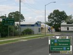
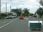
Goondiwindi to Tooowoomba
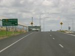
Advance Directional Sign:
AD sign approaching Leichhardt Hwy (A5) at Goondiwindi, October 2005. Click or tap here for a photo of this location by Rob Tilley from April 2005.
Image © Paul Rands

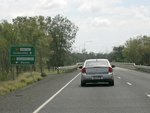
Reassurance Directional Sign:
RD sign as Gore Hwy leaves Goodiwindi, January 2004. Click or tap here for a photo of this location by Michael Greenslade from January 2003.
Image © Michael Greenslade
Tooowoomba to Goondiwindi
2 QLD Government, Department Main Roads, Queensland state-controlled roads and region maps, Southern District 3, August 2008.
3 Michael Greenslade.

