|
|
|
|
|
 |
Castlereagh Highway (State Route 86) - Former Alignment: Cudgegong (Decommissioned) |
Statistics:
Route Numbering:
General Information:
Castlereagh Highway is a significant highway link in the New South Wales road network, linking towns west of the Great Dividing Range (such as Lithgow) to the central west of the state and eventually to Queensland. The State Route 86 segment, passes through rural and populated areas, linking Lithgow with the agricultural centre of Gilgandra, north of Dubbo (via NR34 / NH39).
The Castlereagh Highway is predominantly a 2-lane road, with sealed shoulders and occasional auxiliary lanes provided for overtaking. The speed limit is generally 100km/h, with lower speed limits in place in built up areas. Between Mudgee and Gulgong, the 2002 Annual Average Daily Traffic volume (AADT) was around 3,000 axle pairs. 2
History:
This page covers the former alignment at Cudgegong.
| Preview: | Description: |
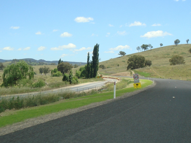 |
Abandoned Alignment: Old roadway at Cudgegong, bypassed in 2011. November 2011. Image © Paul Rands |
1 Roads & Traffic Authority
2 NSW Department of Planning, taken from the Sinclair Knight Merz report on the Moolarben Coal Project
3 Mid Western Regional Council
Last updated: 27-Oct-2018 22:06
This site © Paul Rands. All rights reserved. Some portions © (copyright) by their respective and credited owners. Permission must be obtained before using any images from this site. For details, please email by clicking here.