|
|
|
|
|
| M31 | Hume Motorway & Hume Highway (M31) - Goulburn to Yass |
Statistics:
Route Numbering:


General Information:
The Hume Highway is one of Australia's most vital highway links. Providing access between Sydney and Melbourne, Australia's 2 largest cities. The route is 100% dual carriageway road, either rural expressway or motorway standard.
In NSW, the highway in one form or another started life as the Great South Road, linking Sydney with the southern highlands and eventually beyond. The highway was named in 1928 after Hamilton Hume (1797-1873), a famous explorer in the early 19th century who, in 1824, in conjunction with William Hovell first found an overland route between Sydney and the infant colonial outpost of Port Phillip, the original name of Melbourne.
M31 is the main freight and commuter route between Sydney and Melbourne and has gone through a massive amount of transformation over the past 30 or so years, with many towns being bypassed along its route as well and gradual upgrades to motorway standards. Since the 1960s, the road has either been duplicated, where alignments allow for it, and also large deviations have also been part of the upgrade process.
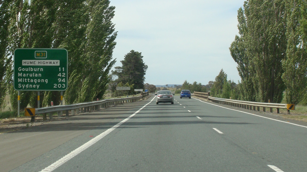
The route around the Mittagong area averages around 16,000 vehicles every day, in other sections the number drops off a little or closer to Sydney increases. 2
The route forms the Remembrance Driveway which honours war veterans, click here for the Remembrance Driveway web site.
Here are some interesting statistics on the Hume Highway: 1
History (Covers current alignment and previous alignments, which may be now under another route number):
Click here for photos of the former alignment between Goulburn and Yass
| Goulburn to Yass | Yass to Goulburn | |||
| Preview: | Description: | Preview: | Description: | |
 |
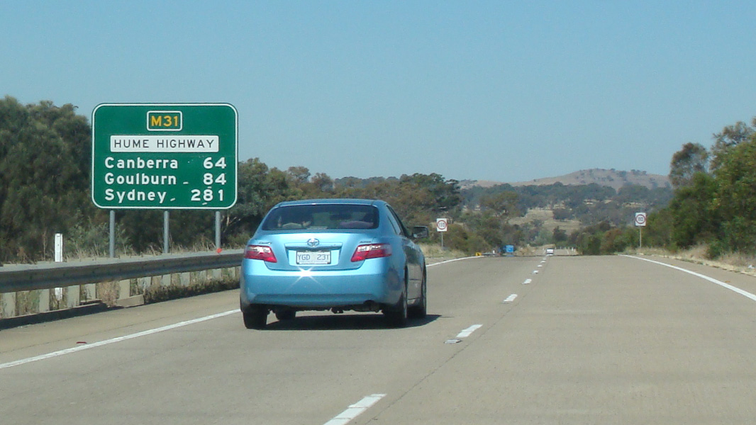
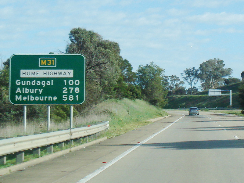
Reassurance Directional Sign: Distance sign at Run O' Waters, September 2013. Image © Paul Rands |
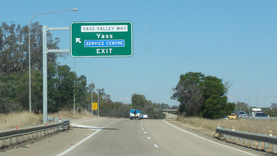 |
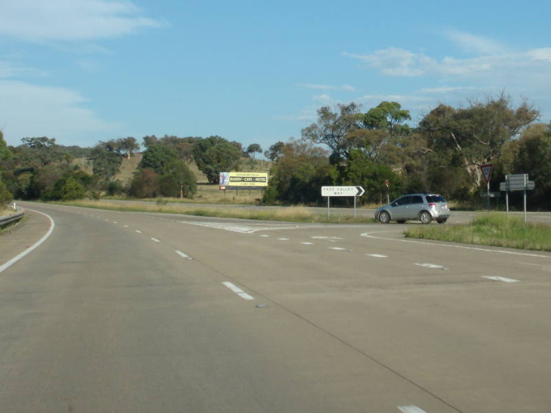
Yass Valley Way Interchange: Hume Hwy (M31) as it passes through the Yass Valley Way interchange in Yass, March 2015. Image © Paul Rands |
|
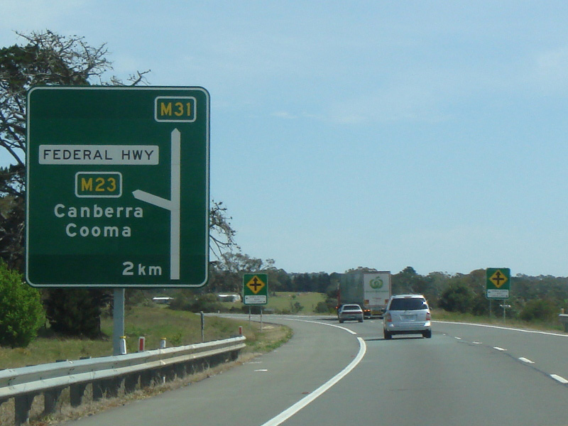 |
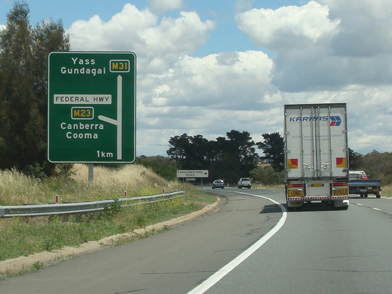
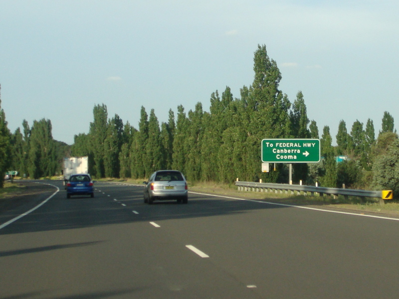
Advance Directional Sign: AD sign approaching Federal Hwy (M23) at Yarra, September 2013. Image © Paul Rands |
 |
Yass Valley Way Interchange: Hume Hwy (M31) as it passes through the Yass Valley Way interchange in Yass, March 2015. Image © Paul Rands |
|
 |
Supplemental Advance Directional Sign: Supplemental AD sign approaching Federal Hwy (M23) at Yarra, November 2013. Image © Paul Rands |
 |
Distance Sign: Reassurance directional sign at Yass after the service centre, March 2015. Image © Paul Rands |
|
 |
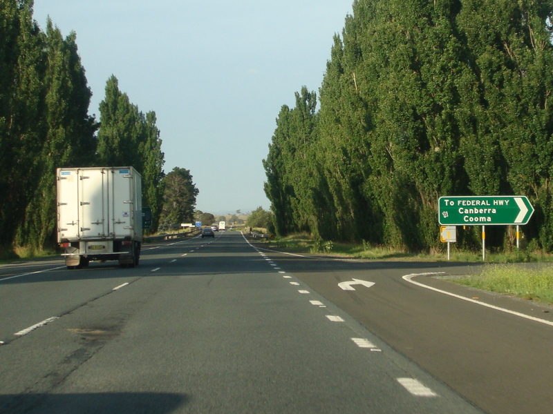
Advance Directional Sign: AD sign approaching Federal Hwy (M23) at Yarra, November 2013. Image © Paul Rands |
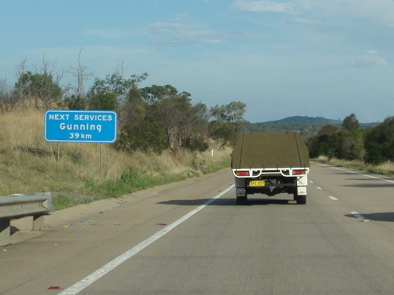 |
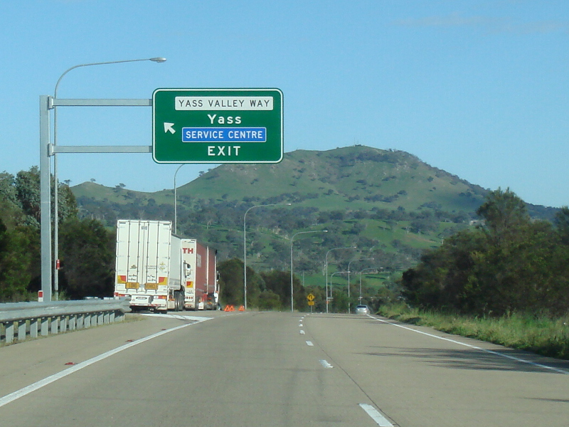
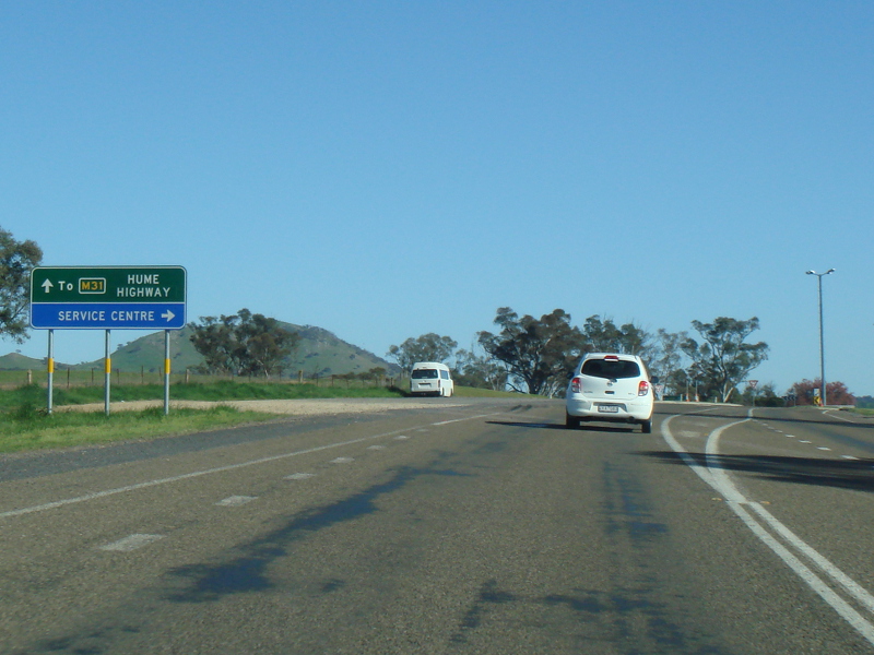
Services Sign: Services sign at Yass indicating distance to the next town with services such as fuel, food, etc, January 2015. Image © Paul Rands |
|
 |
Federal Highway Interchange: Hume Hwy (M31) at the Federal Hwy (M23) interchange at Wollogorang, September 2013. Image © Paul Rands |
 |
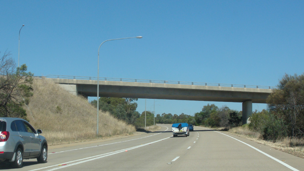
Wangeila Road: Hume Hwy (M31) as it passes under Wangeila Rd at Yass, January 2015. Image © Paul Rands |
|
 |
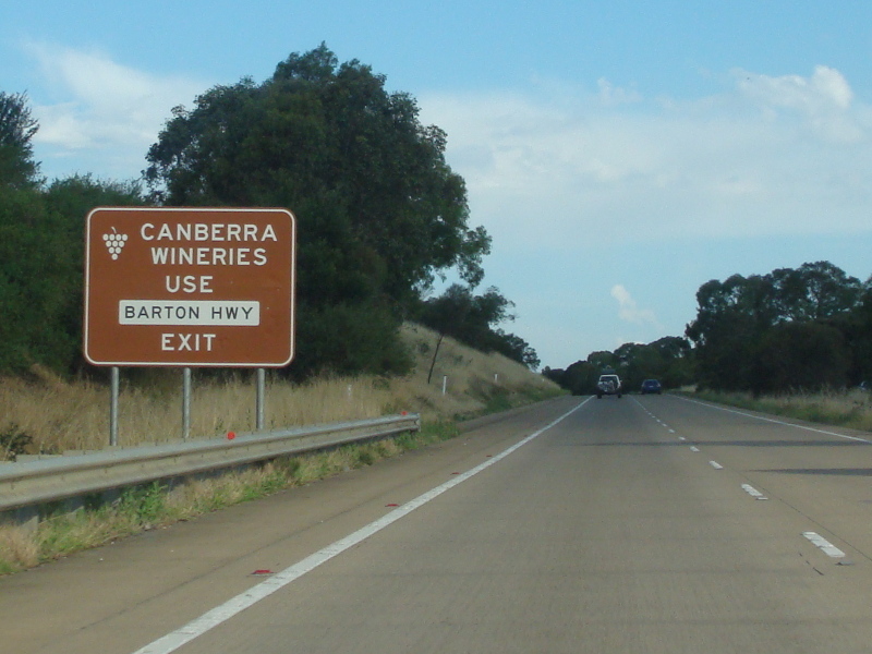
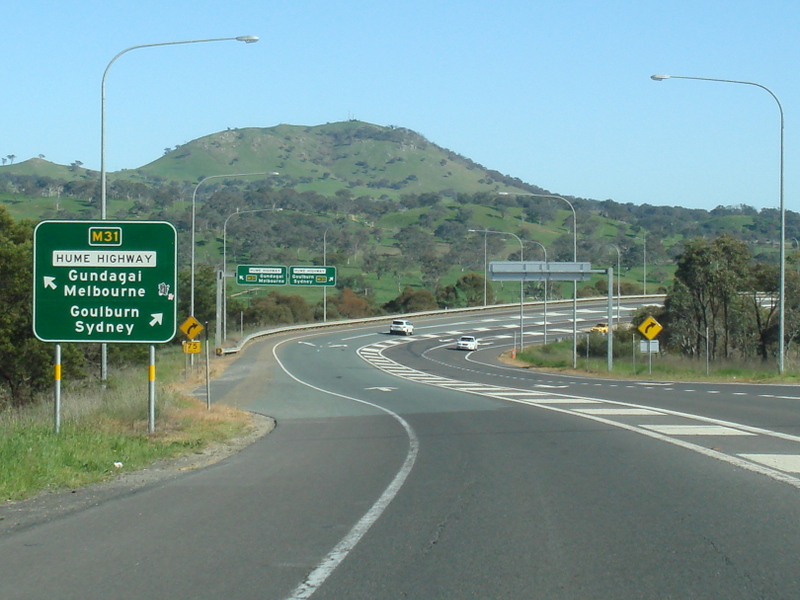
Distance Sign: RD sign after the Barton Hwy (A25) interchange at Yass, September 2013. Image © Paul Rands |
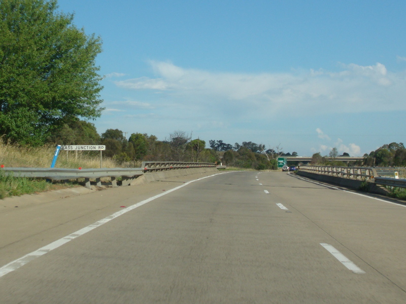 |
Yass Junction Road: Hume Hwy (M31) as it crosses over Yass Junction Rd at Yass, January 2015. Image © Paul Rands |
|
 |
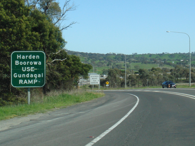
Advance Directional Sign: AD sign approaching Yass Valley Way (former Hume Hwy) at Yass, September 2013. Image © Paul Rands |
 |
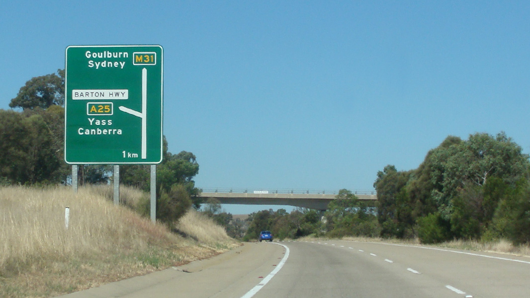
Advance Directional Sign: AD sign at Yass near Yellow Creek Rd for the Barton Hwy (A25) interchange, January 2015. Image © Paul Rands |
|
 |
Yass Valley Way Interchange: Hume Hwy (M31) as it passes through the Yass Valley Way interchange in Yass, September 2013. Image © Paul Rands |
 |
Supplemental Advance Directional Sign: Supplemental AD sign at Yass approaching Barton Hwy (A25) interchange, January 2015. Image © Paul Rands |
|
 |
Advance Directional Sign: AD sign on Yass Valley Way at Yass approaching the Service Centre, showing M31, September 2013. Image © Paul Rands |
 |
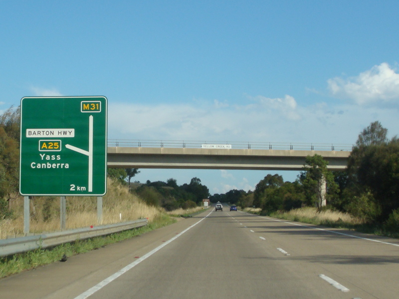
Advance Directional Sign: AD approaching Barton Hwy (A25) at Yass, March 2015. Image © Paul Rands |
|
 |
Intersection Directional Sign: ID sign on Yass Valley Way at Yass at the roundabout with the Service Centre, showing M31, September 2013. Image © Paul Rands |
 |
Coolalie Road: Hume Hwy (M31) as it passes under Coolalie Rd at Yass, March 2015. Image © Paul Rands |
|
 |
Supplemental Advance Directional Sign: Supplemental AD sign on Yass Valley Way approaching the Hume Hwy (M31) interchange in Yass, September 2013. Image © Paul Rands |
 |
Barton Highway: Hume Hwy (M31) at the Barton Hwy (A25) interchange at Yass, March 2015. Image © Paul Rands |
|
 |
Advance Directional Sign: AD sign on Yass Valley Way approaching the Hume Hwy (M31) interchange in Yass, September 2013. Image © Paul Rands |
 |
Barton Highway: Hume Hwy (M31) as it passes under the Barton Hwy (A25) interchange at Yass, January 2015. Image © Paul Rands |
|
 |
Lane Allocation Sign: Lane allocation sign on Yass Valley Way at the Hume Hwy (M31) interchange in Yass, September 2013. Image © Paul Rands |
 |
Distance Sign: Reassurance directional sign at Yass, after Barton Hwy (A25) interchange, January 2015. Image © Paul Rands |
|
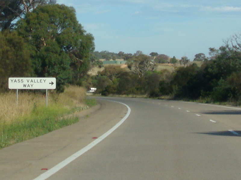 |
Approaching Yass Valley Way: Hume Hwy (M31) as it approaches Yass Valley Way at Manton, January 2015. Yass Valley Way is an old alignment of the Hume Highway. Image © Paul Rands |
|||
 |
Yass Valley Way: Corner of Hume Hwy (M31) and Yass Valley Way at Manton, January 2015. Image © Paul Rands |
|||
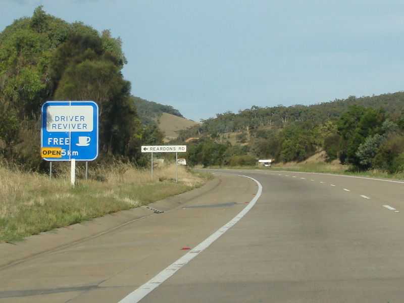 |
Approaching Reardons Road: Hume Hwy (M31) as it approaches Reardons Rd (another former Hume Hwy alignment) at Manton, January 2015. Image © Paul Rands |
|||
 |
Old Alignment: A section of link road once used to connect the current highway alignment and older section of now former highway being used as a truck parking area, Manton, January 2015. Image © Paul Rands |
|||
 |
Services Sign: Services sign near Sheldricks Ln at Manton for the Mundoonan Rest Area, January 2015. Image © Paul Rands |
|||
 |
Services Sign: Services sign st Lade Vale for the Mundoonan Rest Area Image © Paul Rands |
|||
 |
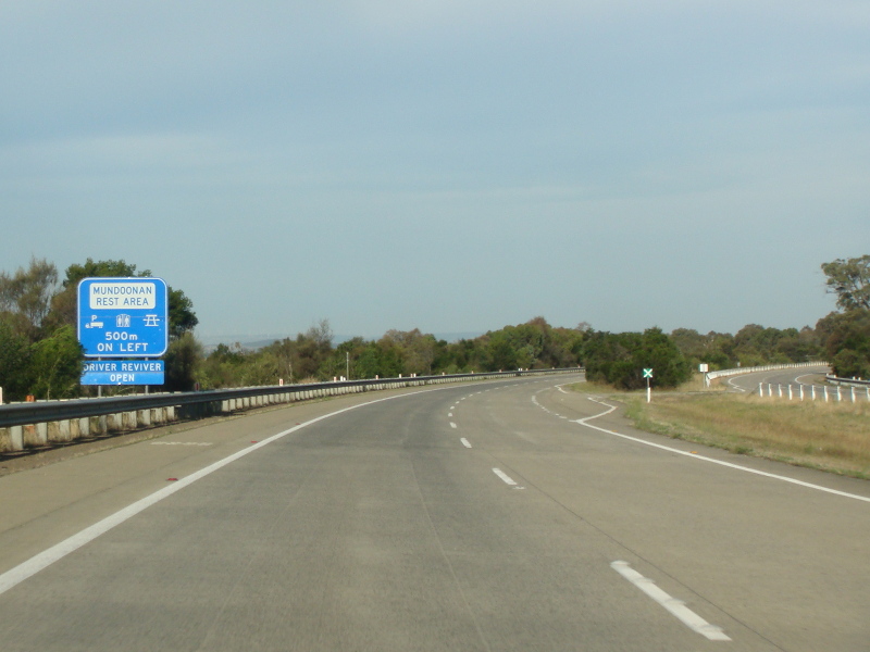
Mundoonan Rest Area: Hume Hwy (M31) at the Mundoonan Rest Area junction at Lade Vale, January 2015. Image © Paul Rands |
|||
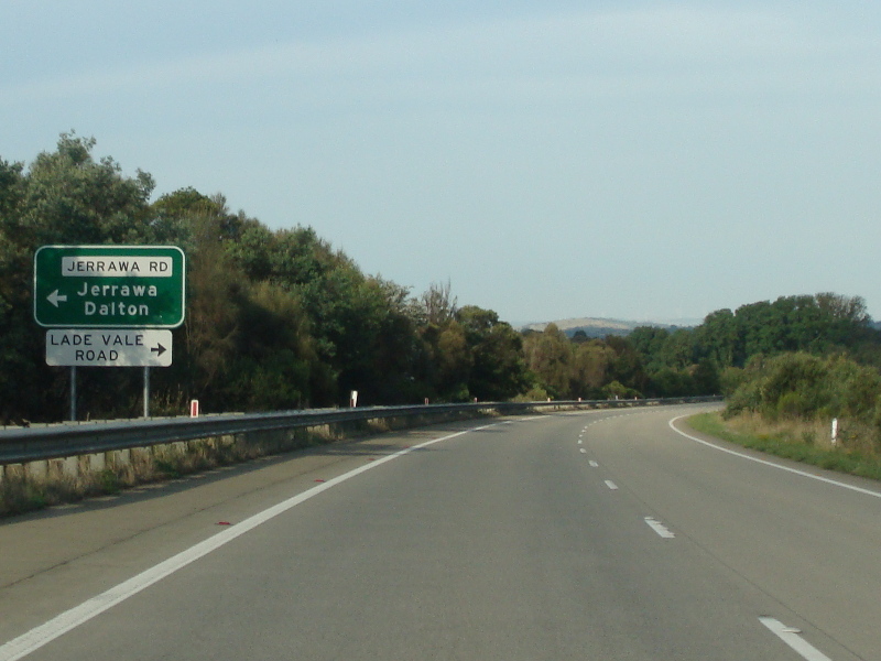 |
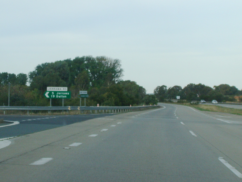
Advance Directional Sign: AD sign approaching the junction with Jerriwa Rd and Lade Vale Rd at Lade Vale, January 2015. Image © Paul Rands |
|||
 |
Jerriwa Road & Lade Vale Road: Corner of Hume Hwy (M31), Jerriwa Rd and Lade Vale Rd at Lade Vale, January 2015. Image © Paul Rands |
|||
 |
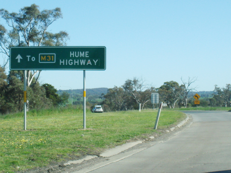
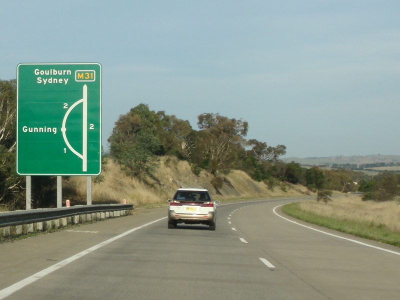
Advance Directional Sign: AD sign at Gunning approaching the Gundaroo Rd interchange, January 2015. Image © Paul Rands |
|||
 |
Services Sign: Services sign at Gunning approaching Gundaroo Rd interchange, January 2015. Image © Paul Rands |
|||
 |
Supplemental Advance Directional Sign: Supplemental AD sign at Gunning approaching the Gundaroo Rd interchange, January 2015. Image © Paul Rands |
|||
 |
Advance Directional Sign: AD sign at Gunning approaching the Gundaroo Rd interchange, January 2015. Image © Paul Rands |
|||
 |
Bypassed Town Sign: Bypassed town AD sign at Gunning approaching the Gundaroo Rd interchange, January 2015. Image © Paul Rands |
|||
 |
Gundaroo Road Interchange: Hume Hwy (M31) at the Gundaroo Rd interchange at Gunning, January 2015. Image © Paul Rands |
|||
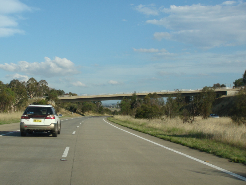 |
Gundaroo Road Interchange: Hume Hwy (M31) passing under the Gundaroo Rd overpass at Gunning, January 2015. Image © Paul Rands |
|||
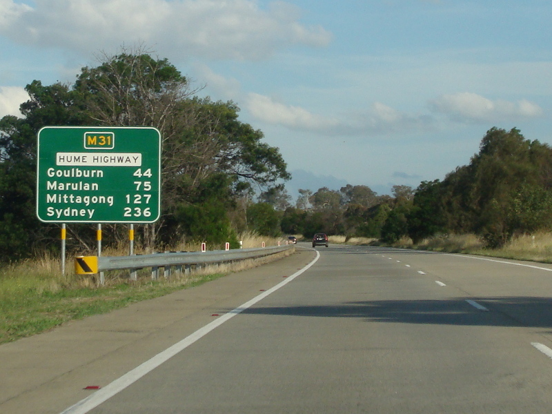 |
Distance Sign: RD sign at Gunning, January 2015. Image © Paul Rands |
|||
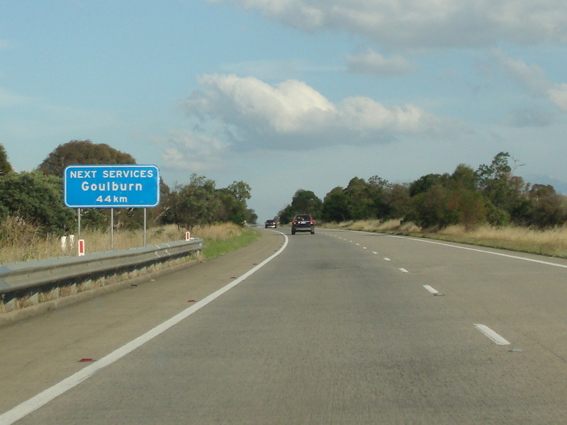 |
Services Sign: Services sign at Gunning, showing distance to next major town with services such as fuel, food, etc, January 2015. Image © Paul Rands |
|||
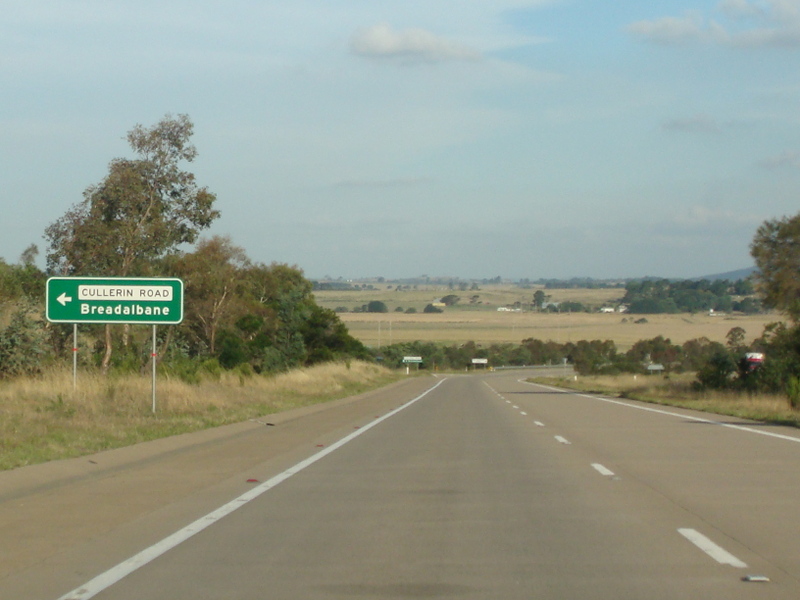 |
Advance Directional Sign: AD sign approaching Cullerin Rd (Former Hume Hwy) at Breadalbane, January 2015. Image © Paul Rands |
|||
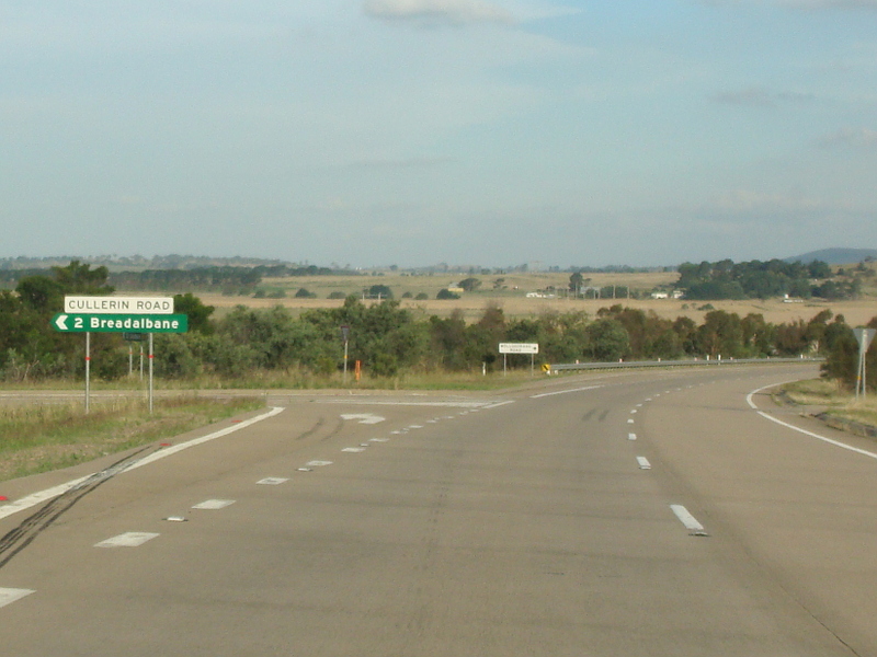 |
Cullerin Road: Corner of Hume Hwy (M31) and Cullerin Rd at Breadalbane, January 2015. Image © Paul Rands |
|||
 |
Supplemental Advance Directional Sign: Supplemental AD sign at Yarra approaching the Federal Hwy (M23) interchange, January 2015. Image © Paul Rands |
|||
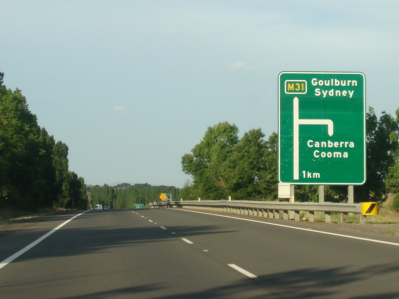 |
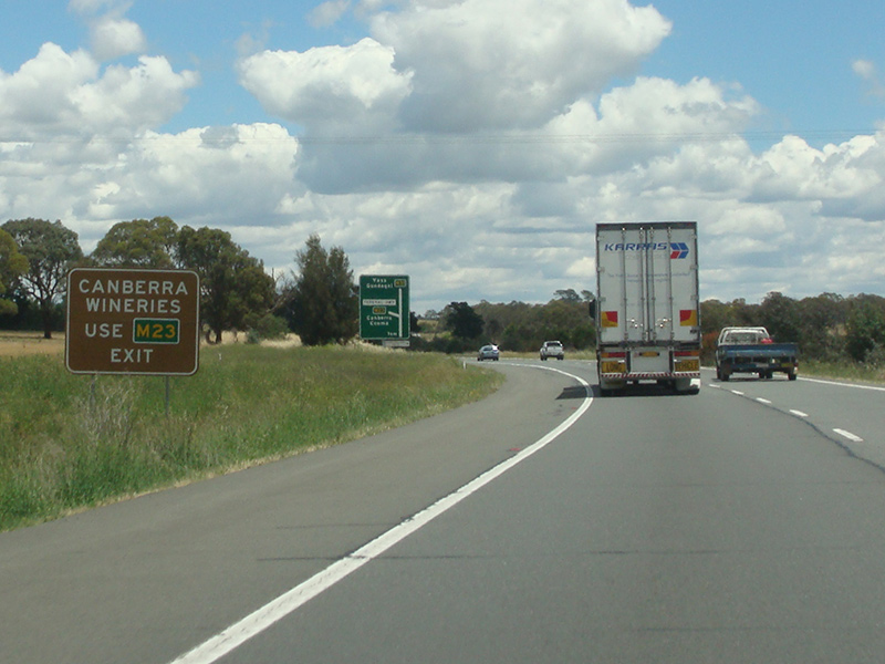
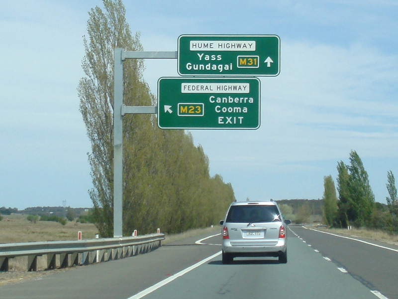
Advance Directional Sign: AD sign approaching the Federal Hwy (M23) interchange at Yarra, January 2015. The interchange is grade separated, except for traffic needing to go south, which uses a U-turn bay. Image © Paul Rands |
|||
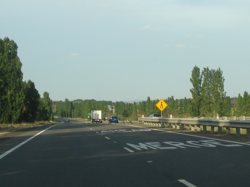 |
Federal Highway Merge: Hume Hwy (M31) at the Federal Hwy (M23) interchange at Yarra, January 2015. Northbound traffic uses an unusual double zipper merge. Image © Paul Rands |
|||
 |
Advance Directional Sign: AD sign approaching the U-turn bay for southbound traffic joining the Federal Hwy (M23) at Yarra, January 2015. Image © Paul Rands |
|||
 |
Federal Highway U-Turn Bay: Hume Hwy (M31) at the Federal Hwy (M23) U-turn bay at Yarra, January 2015. Image © Paul Rands |
|||
 |
Reassurance Directional Sign: Distance sign after the Federal Hwy (M23) interchange at Yarra, November 2013. Image © Paul Rands |
|||
 |
Advance Directional Sign: AD sign at Run O' Waters approaching Hume St, November 2013. Image © Paul Rands |
|||
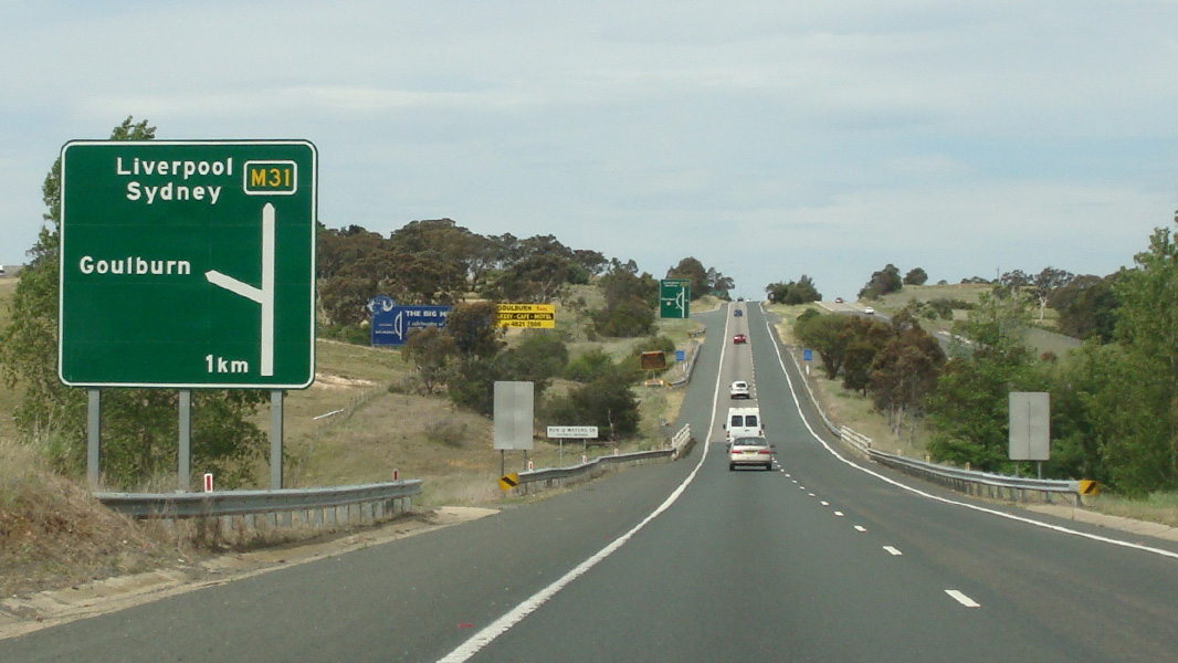 |
Advance Directional Sign: AD sign at Run O' Waters approaching Hume St, November 2013. Image © Paul Rands |
|||
| Click here for the continuation of M31 between Yass and Gundagai Click here for the continuation of M31 between Berrima and Goulburn |
||||
1 Roads and Maritime Services
2 Department of Main Roads. The Roadmakers, A History of Main Roads in New South Wales, ISBN 0 7240 0439 4
Last updated: 24-Feb-2017 13:33
This site © Paul Rands. All rights reserved. Some portions © (copyright) by their respective and credited owners. Permission must be obtained before using any images from this site. For details, please email by clicking here.