Road Photos & Information: New South Wales
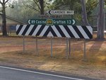
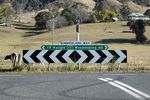
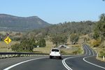
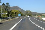
Summerland Way and Big River Way (B91)
Statistics:
- Length:
- 212 km
- Termini:
- Northern: NSW-QLD Border, Dairy Flat
- Southern: Pacific Hwy (M1), Glenugie
- Miscellaneous:
- Continues as Mount Lindesay Hwy (NR13) in Queensland
- Suburbs, Towns & Localities Along Route:
- Glenugie, South Grafton, Grafton, Junction Hill, Mountain View, Warragai Creek, Dilkoon, Gurranang, Banyabba, Whiporie, Myrtle Creek, Rappville, Coombell, Casino, Fairy Hill, Cedar Point, Kyogle, Wiangaree, Old Grevillia, Grevillia, Lindesay Creek and Dairy Flat
Route Numbering:
- Current: B91
- Multiplexed with: B60 B76
- Former: A1 91
- Road Authority Internal Classification: 1
- MR83
General Information:
B91 is an inland north-south route, which acts as an alternate route to the Pacific for travel into Brisbane (together with Mt Lindesay Hwy (NR13) in Queensland).
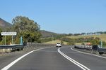
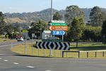
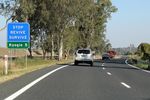
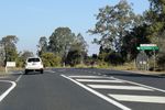
The road is mostly undivided single carriageway, passing through undulating territory, and services rural, residential and commercial zones.
Multiplexes along the route include:
- B60 (Bruxner Hwy), for 1.5 km, Casino.
- B76 (Gwydir Hwy), for 300 m, South Grafton.
History:
- 1843: Surveyor James Charles Burnett surveys an old dray route, which eventually becomes Summerland Way. 2
- 1876: Construction of Irving Bridge over the Richmond River at Casino. It was the first McCallum truss bridge to be constructed. 2
- 1932: Opening of Grafton Bridge over the Clarence River. It carries both rail and road traffic. Road traffic uses the top deck, and rail travels underneath. The bridge replaced an old vehicular ferry. 2
- 2013: State Route 91 route number replaced by B91.
- 2021: B91 extended along former Pacific Hwy alignment between South Grafton and Glenugie.
Click or tap here for photos of the former alignment of B91.
Glenugie to Queensland Border
Queensland Border to Glenugie
1 NSW Government, Transport for NSW, Schedule of Classified Roads And State and Regional Roads, July 2022.
2 NSW Government, Roads and Traffic Authority, Self Guided Tours, The Summerland Way Heritage Drive brochure, April 2006.
2 NSW Government, Roads and Traffic Authority, Self Guided Tours, The Summerland Way Heritage Drive brochure, April 2006.
