Road Photos & Information: New South Wales
Barton Highway (A25)
Statistics:
- Length:
- 40 km
- Termini:
- Northern: Hume Highway (M31) interchange at Yass
- Southern: Barton Hwy (A25) at the NSW-ACT Border at Spring Range
- Miscellaneous:
- Continues as A25 in the ACT
- Suburbs, Towns & Localities Along Route:
- Yass, Marchmont, Murrumbateman, Jeir, Spring Range and Wallaroo
Route Numbering:
- Current: A25
- Former: 25 25
- Road Authority Internal Classification: 1
- HW15
General Information:
The Barton Highway is one of two major connectors from Canberra to the Hume Highway, which links Sydney with Melbourne.
The Barton Highway north of the ACT border carries over 10 000 vehicles per day. The route is a significant road freight link between the Hume Highway and the ACT. 2
History:
- January 1935: Road improvements including upgrading from gravel road of the Federal Highway (later Barton Highway) leading from the Hume Highway at Yass to Canberra was undertaken and completed in March 1937. 2
- March 1937: Upgrade works between Yass and Canberra completed. 2
- 8 March 1935: Proclaimed as a State Highway. 3
- 1954: The route formerly known as Yass-Canberra Road and also Federal Highway, and named the Barton Highway. 3
- 1956: The National Route 25 shield was given to the Barton Highway. 4
- 1974: The Barton Hwy became National Highway 25. 4
- 1990s: Hume Highway interchange and Yass Bypass built.
- 2013: NH25 replaced by A25.
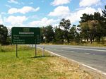
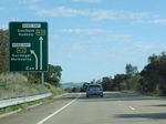
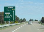
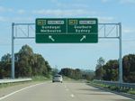
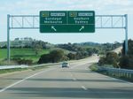
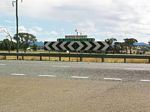
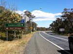
ACT Border to Yass
1 NSW Government, Transport for NSW, Schedule of Classified Roads And State and Regional Roads, July 2022.
2 NSW Government, Roads & Traffic Authority.
3 NSW Government, Department of Main Roads, The Roadmakers, A History of Main Roads in New South Wales, ISBN 0 7240 0439 4.
4 Sam Laybutt (Ozroads)
2 NSW Government, Roads & Traffic Authority.
3 NSW Government, Department of Main Roads, The Roadmakers, A History of Main Roads in New South Wales, ISBN 0 7240 0439 4.
4 Sam Laybutt (Ozroads)
