Road Photos & Information: Australian Capital Territory
Tuggeranong Parkway (Unnumbered)
Construction Photos
Glenloch Interchange
Statistics:
- Length:
- 11 km (Glenloch Interchange: 9 km (total ramp distance covered))
- Termini:
- Northern: Glenloch Interchange (Caswell Drive, Parkes Way & William Hovell Drive), Molonglo Valley
- Southern: Drakeford Drive & Sulwood Drive, Kambah
- Suburbs, Towns & Localities Along Route:
- Molonglo Valley
Route Numbering:
- Current: None
General Information:
The Tuggeranong Parkway is a expressway standard route and is the major north-south route for the ACT's western and south-western suburbs in the Woden and Tuggeranong Valleys, connecting them to the Belconnen area. The Tuggeranong Parkway is 4 lanes wide and is divided either by a concrete wall.
The word Tuggeranong is an aboriginal word for 'cold plain'. The name was also given to a former parish in the area. 1
The Glenloch Interchange links Tuggeranong Parkway, William Hovell Drive, Caswell Drive and Parkes Way together at the southwest base of Black Mountain. Built in the early 1980s, it's one of Canberra's busiest interchanges, with traffic passing through from the districts of Belconnen, North Canberra and the Tuggeranong and Woden Valleys.
Glenloch Interchange was named after a homestead in the area first selected by Francis Mowatt in 1834. 1
History:
- 13 April 1972: Tuggeranong Parkway name was gazetted. 2
- 1980: The Rock Garden at the Australian National Botanic Gardens was built using boulders excavated during the construction of the Tuggeranong Parkway. 3
- 4 June 1982: Glenloch Interchange name gazetted. 1
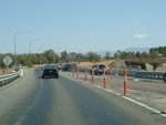
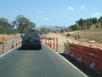
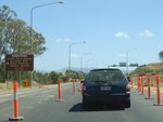
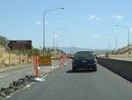
- 2007: Major reconstruction program commences to reconfigure the Glenloch Interchange, which includes the removal of a set of traffic signals controlling traffic from Parkes Way and William Hovell Drive.
Northbound
Southbound

William Hovell Drive / Caswell Drive To Tuggeranong Parkway:
Looking southeast on the slip lane from William Hovell Drive and Caswell Drive onto Tuggeranong Parkway, January 2010. Note the old overpass on the right of shot. Part of the Glenloch Interchange upgrade works requires this bridge to be demolished. It was built in the early 1980s.
Image © Tim Cole


