Road Photos & Information: Australian Capital Territory
Southern Cross Drive (Unnumbered)
Statistics:
- Length:
- 6 km
- Termini:
- Eastern: Coulter Drive & Luxton Street, Florey
- Western: Parkwood Road, Britten-Jones Drive & MacFarlane Burnet Avenue, Holt
- Suburbs, Towns & Localities Along Route:
- Holt, Macgregor, Higgins, Latham, Scullin, Page and Florey
Route Numbering:
- Current: None
General Information:
Southern Cross Drive is a direct feeder route connecting the western suburbs of the Belconnen district, in the northwest of the ACT with the central business district of Belconnen.
The route varies from dual carriageway to single carriageway standard.
Southern Cross Drive is named after the aircraft in which Sir Charles Kingsford Smith made a number of epic flights, including the first across the Pacific Ocean in 1928. 1
History:
- 15 January 1970: Gazettal of the road name 'Southern Cross Drive' 1
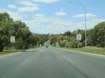
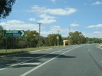
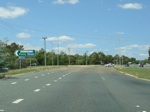
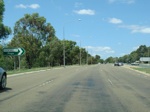
Holt to Florey
1 ACT Planning & Land Authority, Place Name Search, Southern Cross Drive
