| |
| |
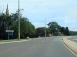 |
Entering Forrest:
State Circle as you enter the suburb of Forrest, February 2011.
Image © Paul Rands |
|
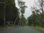 |
Melbourne Avenue:
Outside Canberra Girls Grammar School. This is looking northeast - this side of the street is Deakin, the other side is Forrest. July 2006.
Image © Paul Rands |
 |
Advance Directional Sign:
AD sign as you approach Canberra Avenue on State Circle at Forrest. February 2011.
Image © Paul Rands |
|
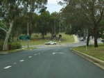 |
Approaching State Circle:
Melbourne Avenue in Deakin as it approaches Capital Hill and State Circle, July 2006. Note the hand painted Right Lane Must Turn Right sign. Hand painted signs were once extremely common across the ACT.
Image © Paul Rands |
 |
Hobart Avenue:
ID sign on State Circle, for Hobart Avenue in Forrest. February 2011.
Image © Paul Rands |
|
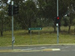 |
State Circle ID Sign:
Older style road name signage on State Circle at Deakin / Capital Hill. This sign would have been a 1990s direct remake of an old black sign. July 2006.
Image © Paul Rands |
 |
Advance Directional Sign:
AD sign on State Circle in Deakin, approaching Melbourne Avenue, February 2011.
Image © Paul Rands |
|
 |
Advance Directional Sign:
AD sign on State Circle approaching Melbourne Avenue, February 2011.
Image © Paul Rands |
| |
|
|
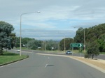 |
Eastbound on State Circle:
ID sign for Hobart Avenue as you head east on State Circle near Parliament House and the suburb of Forrest. February 2011.
Image © Paul Rands |
| |
|
|
 |
Old Black Directional Sign:
AD sign as you approach Canberra Avenue on State Circle at Forrest. One of Canberra's oldest buildings is located in the distance: St Andrews Presbyterian Chuch. February 2011.
Image © Paul Rands |
| |
|
|
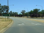 |
Approaching Brisbane Avenue:
Heading north near the junction with Brisbane Avenue. Capital Hill is on the left of the road and the suburb of Barton is on the right, December 2009.
Image © Paul Rands |
| |
|
|
 |
Tourist Drive 6 Trailblazer:
TD6 trailblazer on Capital Hill near the junction with Brisbane
Avenue, December 2009.
Image © Paul Rands |
| |
|
|
 |
End Tourist Drive 6:
End TD6 trailblazer on Capital Hill near the junction with Brisbane
Avenue, December 2009.
Image © Paul Rands |


